Kat Chadwick, Melbourne
Associated creatives

Tags
Description
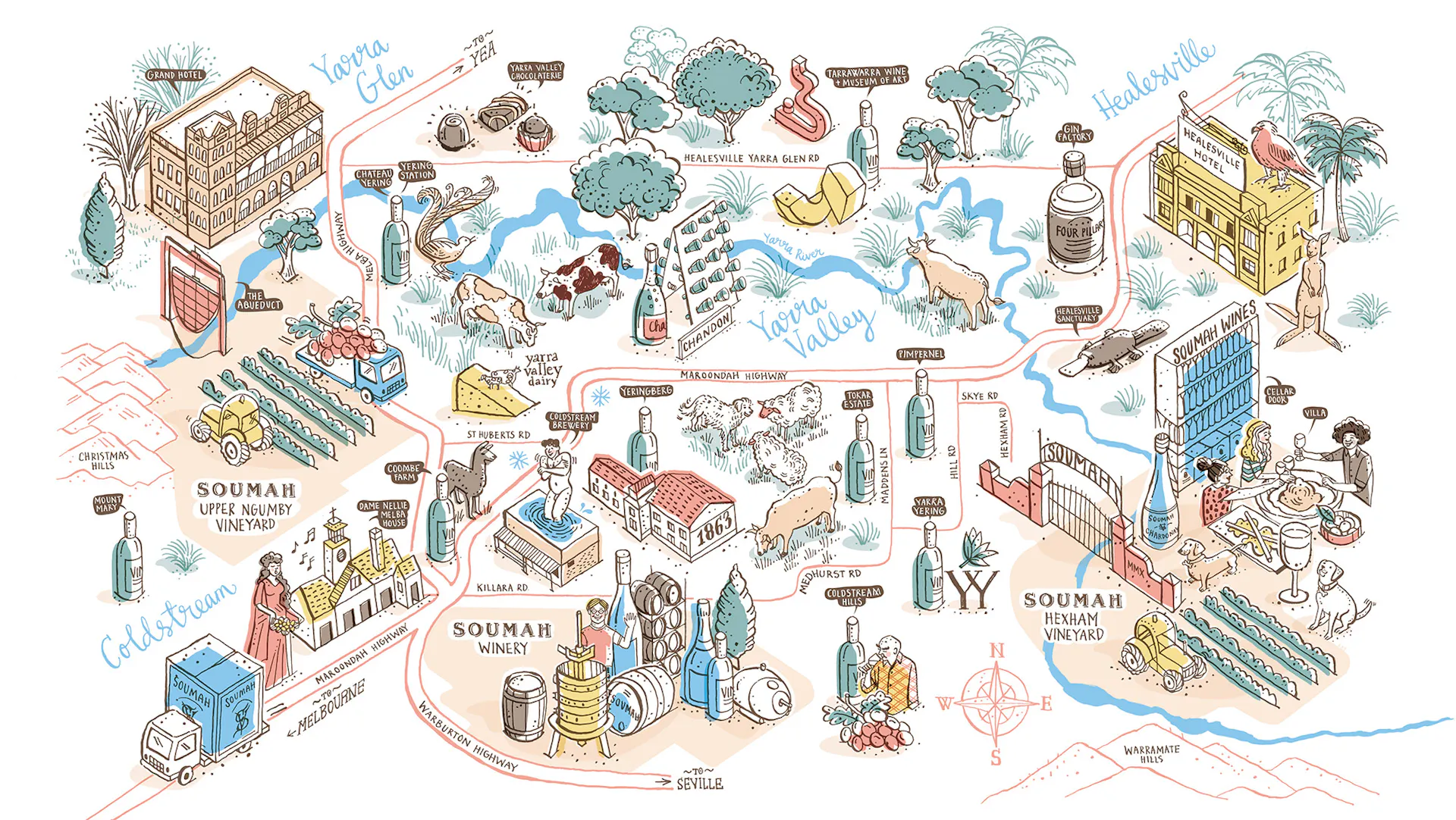
An illustrated map depicts the Yarra Valley region in Australia, showcasing various wineries, vineyards, and local attractions. The map features landmarks such as the Grand Hotel, Yarra Valley Dairy, Soumah Winery, and Healesville Hotel. Buildings, including wineries, hotels, and dairy farms, are rendered in a cartoon style. Vineyards and rolling hills are present throughout the illustration, indicating the region's agricultural focus. The waterways labeled Yarra River and the road network connect the various locations. Various animals, including cows, sheep, a platypus, a kangaroo, and birds, appear in different parts of the map. The map incorporates hand-lettered typography for place names and labels, enhancing its artistic feel. Overall, the illustration provides a charming and informative overview of the Yarra Valley area.