Christopher Anderson, Photographer, London
Associated creatives

Tags
Description
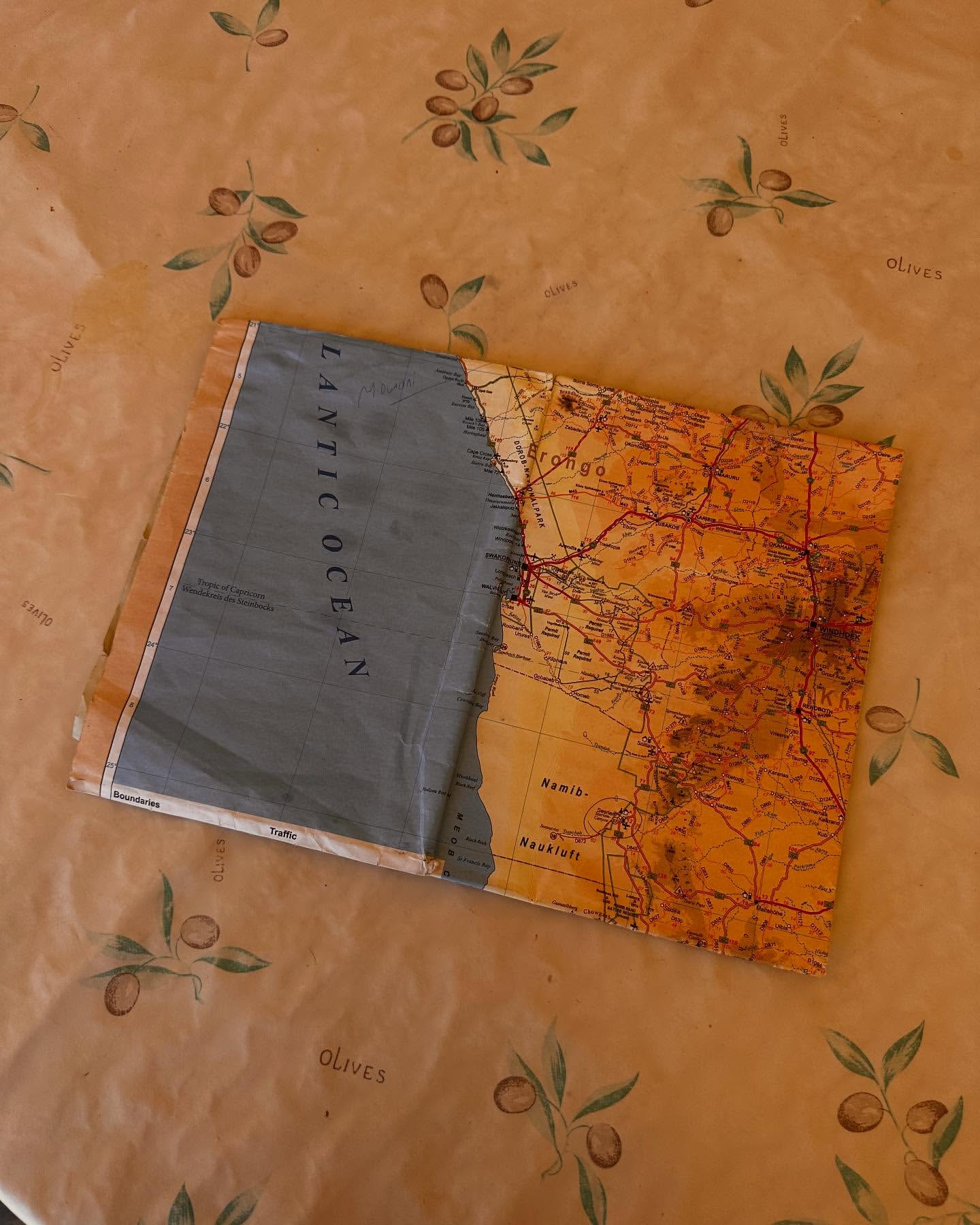
An open world map is laid flat on a patterned tablecloth. The map features sections of orange landmasses, delineated with fine red lines representing roads and cities. A blue portion of the map, presumably an ocean, is visible, labeled 'LANTIC OCEAN' in bold letters. The tablecloth has an olive pattern with a warm, yellowish hue, adorned with illustrated branches and leaves. The tablecloth appears to be slightly wrinkled, which adds texture to the scene.