BrandThe District
ProjectBrand Identity
The District Brand Identity 2019
Associated creatives

Tags
Description
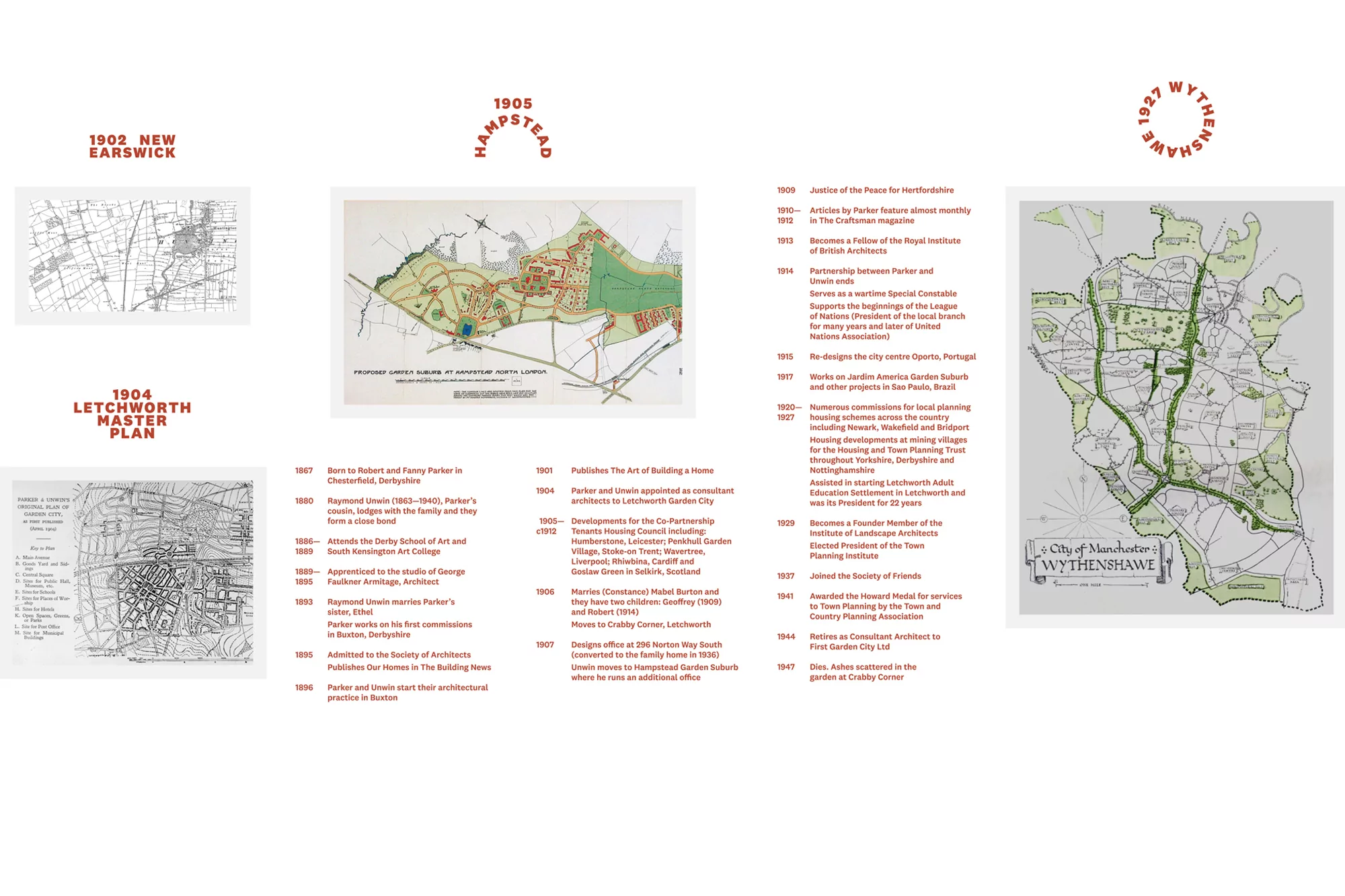
This image features a collection of vintage architectural maps showcasing urban planning designs from the early 20th century. The layouts of New Earswick (1902), Letchworth Master Plan (1904), Hampstead (1905), and Wythenshawe (1927) are displayed with intricate details, providing a glimpse into the historical development of urban spaces. The maps include annotations, lines, and shaded regions that delineate various aspects of the planned communities. The visual presentation conveys a sense of nostalgia and historical significance in the field of urban planning and architecture.