Logo
|

Top results

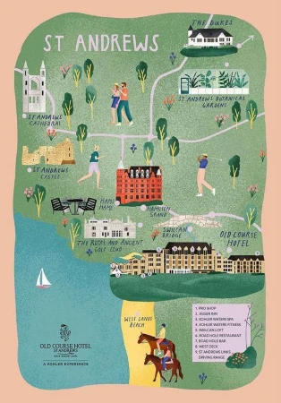
Illustrated tourist map of St Andrews featuring landmarks, buildings, and figures by Stephanie Ginger
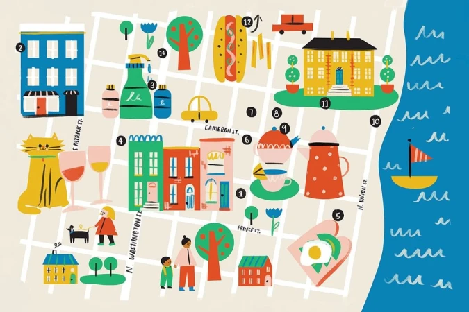
Illustrated city map by Libby Burns showing colorful buildings, street grids, whimsical icons, and a blue coastline with a sailboat.
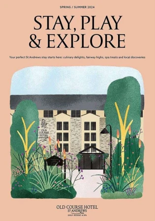
Illustration of Old Course Hotel St Andrews by Stephanie Ginger featuring building exterior with lush foliage
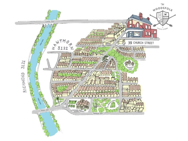
Illustrated bird's-eye map of Hawthorn Melbourne showing streets, buildings, and a blue river by Sasha Heath
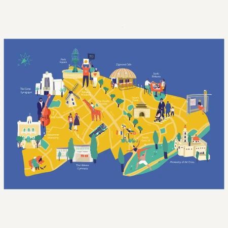
Illustrated city map by Maya Ish-shalom featuring landmarks, streets, and figures in a flat graphic style against a blue background.
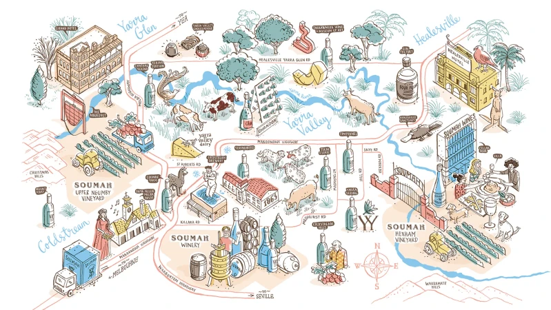
Illustrated hand-drawn map of the Yarra Valley featuring wineries, vineyards, and local landmarks by Kat Chadwick
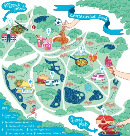
Illustrated colorful map of Centennial Park featuring numbered icons, food items, trees, and paths by Sasha Heath.
Detailed illustrated campus map showing academic buildings, sports fields, greenery, and small figures walking or cycling.
Isometric illustrated map of Nuremberg featuring stylized buildings, figures, and roads in a purple and cream color palette.
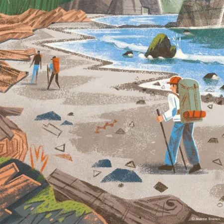
Digital illustration by Martin Stanev of hikers walking along a scenic coastline with sandy beaches and blue ocean water.
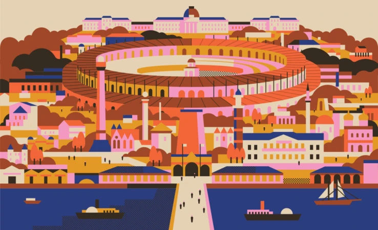
An illustrated architectural cityscape featuring a large circular arena by illustrator Aleksandar Savić.
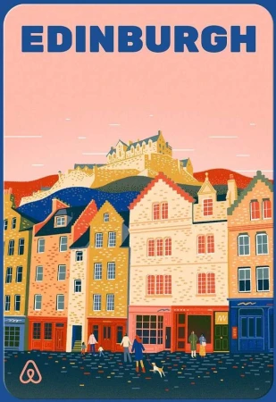
Illustrated travel poster of Edinburgh featuring colourful historic townhouses and a distant castle by Yukai Du.
Vector illustration of a sprawling urban landscape featuring a large circular arena, ships on water, and colorful buildings by Aleksandar Savić.
Isometric illustrated map featuring a cathedral, Ferris wheel, river, and shopping bags designed by Andrew Nye

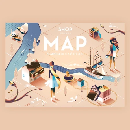
Isometric illustrated map of Klaipeda featuring buildings, ships, water, and figures by designer Andrew Nye
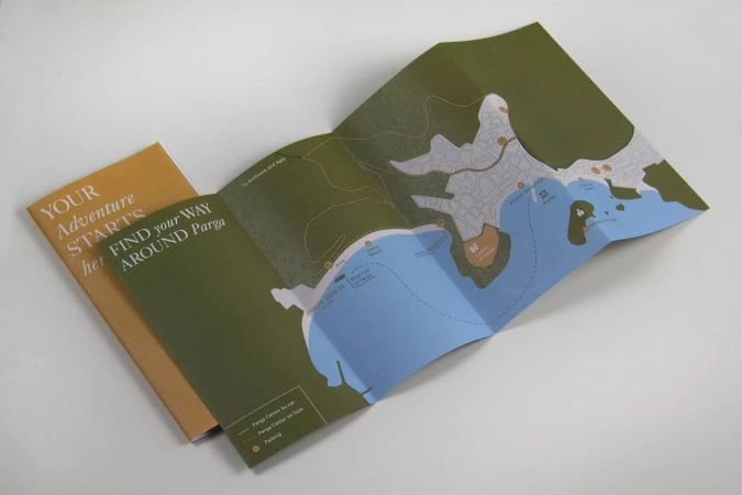
An unfolded printed tourist map showing a coastline with green land and blue water alongside a folded orange guidebook on a white table.
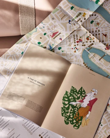
Open print publication titled A Time to Wander next to an illustrated folded map under warm dappled sunlight.
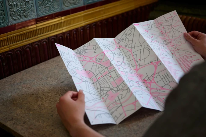
Person holding a large folded paper map with pink line illustrations on a stone surface.
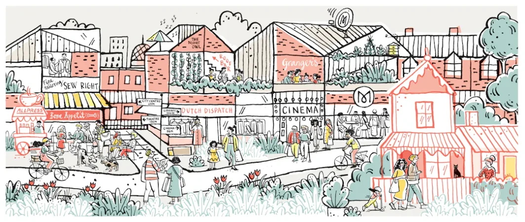
Detailed illustrated street scene in Melbourne by Kat Chadwick featuring shops, pedestrians, cyclists, and buildings in line art.
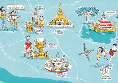
Illustrated city map of Yangon by Kat Chadwick featuring landmarks, local food, and cultural scenes on a blue background
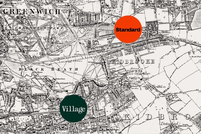
Vintage black and white map of Greenwich and Blackheath with two circular badges labeled Standard and Village.
Isometric vector illustration of a detailed town map by Abiyasa Adiguna featuring buildings, roads, vehicles, and tiny figures.
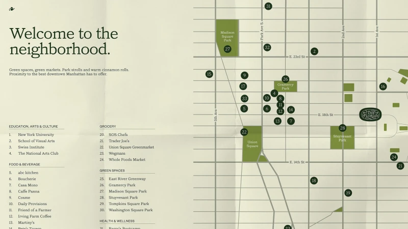
Illustrated neighborhood map graphic for The Florian featuring street grid, green park plots, numbered location markers, and directory text.
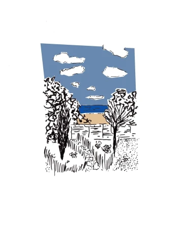
Illustration by Philippe Dufour-loriolle depicting a coastal landscape with trees, blue sea, and clouds above a fence.
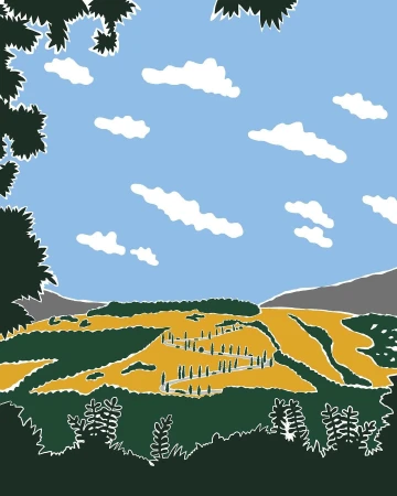
Digital illustration of a winding road through golden rolling hills under a blue sky with fluffy white clouds, framed by dark green foliage.
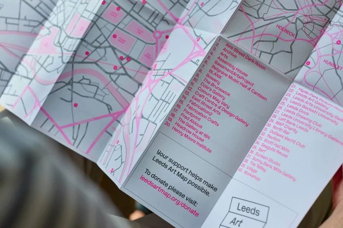
Close-up of a folded paper city map with pink accent lines and a numbered index list held in hands
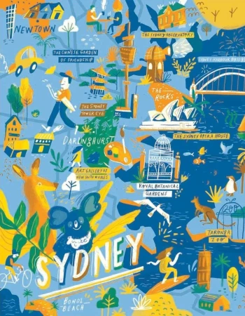
Illustrated pictorial map of Sydney featuring landmarks, wildlife, and bold blue and yellow color blocks
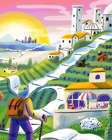
Illustrated landscape with a hiker overlooking rolling hills, white winding roads, and a sunset sky by Aart-jan Venema
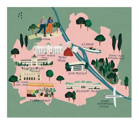
Illustrated map of Vienna by Stephanie Ginger showing landmarks, parks, and the Danube river in a textured pink and green palette.

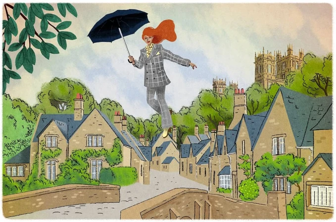
Illustration by Jérôme Meyer-bisch of a red-haired woman floating above a village holding a black umbrella
Vector illustration depicting a split-composition architectural dome and crown against a blue and red background by Chiara Morra.
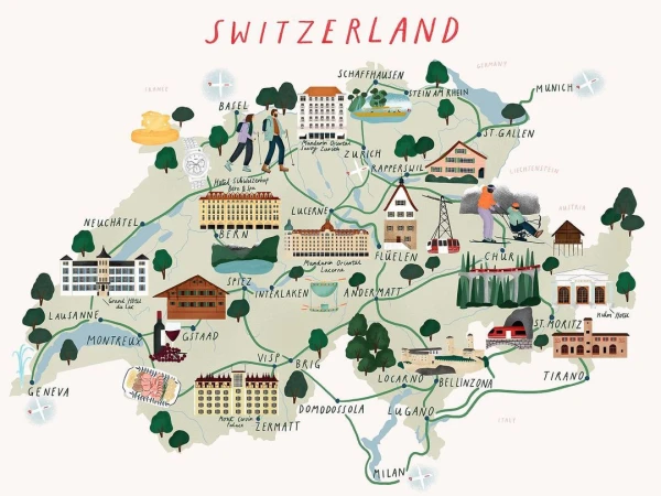
Illustrated tourist map of Switzerland featuring landmarks, towns, green paths, and miniature drawings by Stephanie Ginger
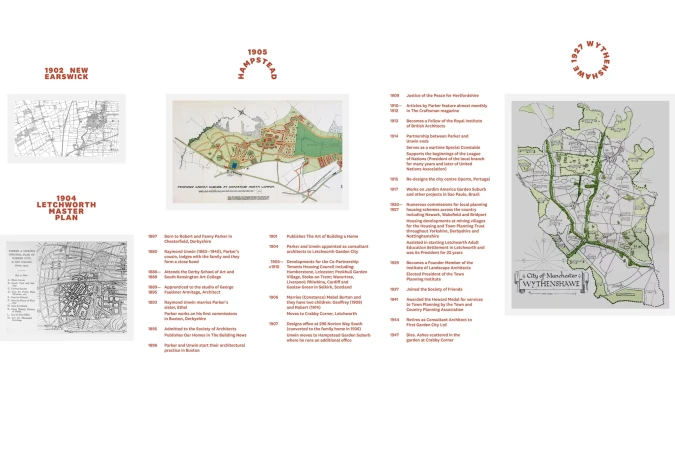
Exhibition panel layout for The District brand identity featuring historical architectural maps, site plans, and chronological timelines.
An illustrated miniature coastal town viewed from above, with hands interacting with map elements through a magnifying glass.
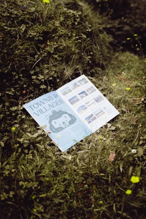
An open booklet titled Towns and Villages rests on green moss and grass outdoors.
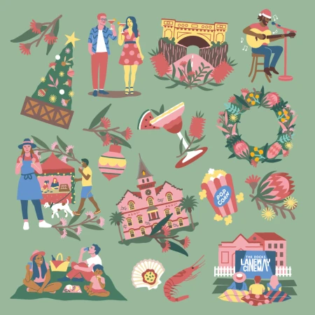
Flat vector illustration set featuring people, Australian flora, buildings, and festive icons on sage green
Pixel art illustration of a cityscape at night with a large blue aurora in the sky for the SENMON Rebrand project
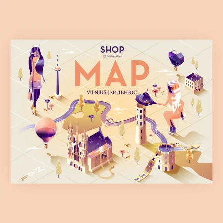
Isometric illustrated city map of Vilnius featuring stylized buildings, hot air balloons, and two female figures in a pastel palette
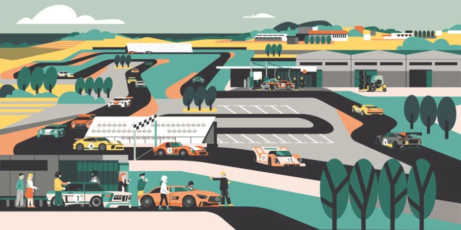
Vector illustration of a sprawling motorsport race track with numerous colourful racing cars and spectators by Aleksandar Savić
Textured digital illustration of a green architectural cityscape with figures by Makers Company
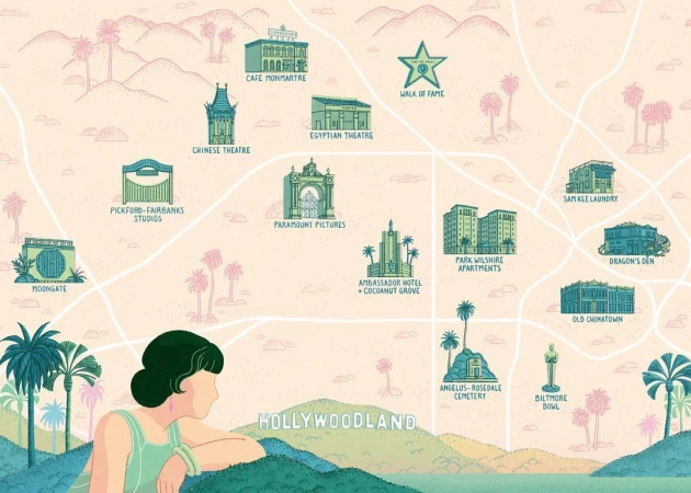
Illustrated vintage map of Hollywoodland featuring prominent landmarks and a woman looking out over hills.
Colorful illustration of a traveler standing atop a large blue typewriter looking out over a rolling landscape with winding paper roads
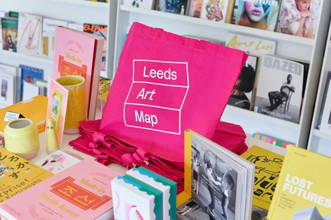
Bright pink tote bag with white Leeds Art Map typography displayed on a bookstore table surrounded by colorful books and magazines.
Vintage-style illustrative graphic pattern featuring whimsical drawings and the No. Six Depot brand name in the center
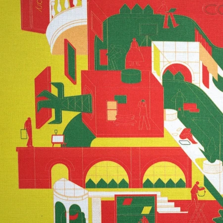
Colorful architectural illustration featuring stylized buildings, bridges, and tiny human figures in red, green, and yellow.
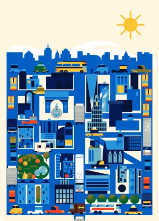
Digital city illustration in blue tones featuring buildings, cars, buses, and a bright yellow sun above the skyline.
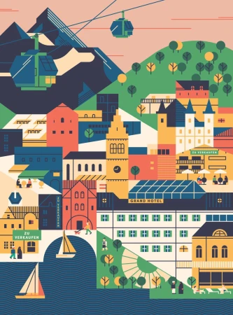
Illustrated alpine village with cable cars, colorful buildings, and a mountain lake by Aleksandar Savić
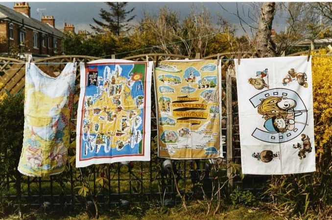
Four printed tea towels hanging on a clothesline outdoors against a backdrop of houses and foliage.
Isometric illustrated shop map of London featuring stylized figures, buildings, and landmarks in blue tones.
Illustrated desert landscape with observatory domes, a water tower, and a cute character lounging by a pool under a smiling sun.
5000+ creatives to discover

Sign up to gain access to the entire directory. It’s free.

Visie is a curated library of creative professionals.
Trusted by