Logo
|

Top results

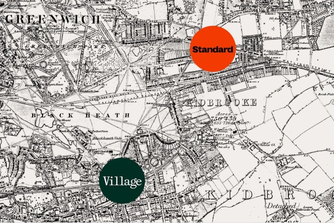
Vintage black and white map of Greenwich and Blackheath with two circular badges labeled Standard and Village.
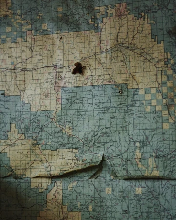
Close-up of an aged, gridded topographical map affixed to a wall with visible wear and peeling corners
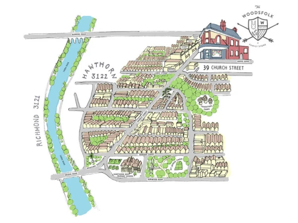
Illustrated bird's-eye map of Hawthorn Melbourne showing streets, buildings, and a blue river by Sasha Heath
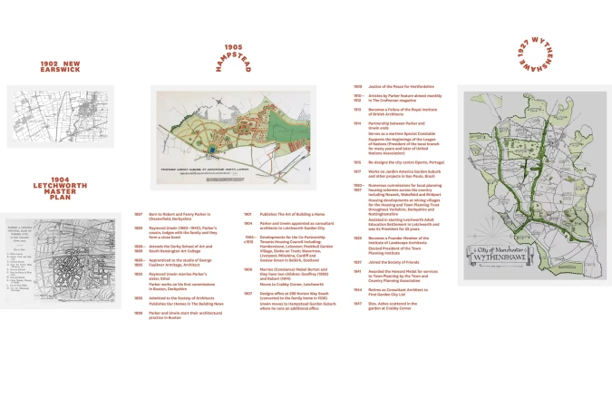
Exhibition panel layout for The District brand identity featuring historical architectural maps, site plans, and chronological timelines.
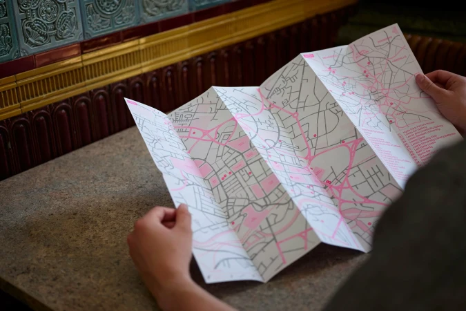
Person holding a large folded paper map with pink line illustrations on a stone surface.
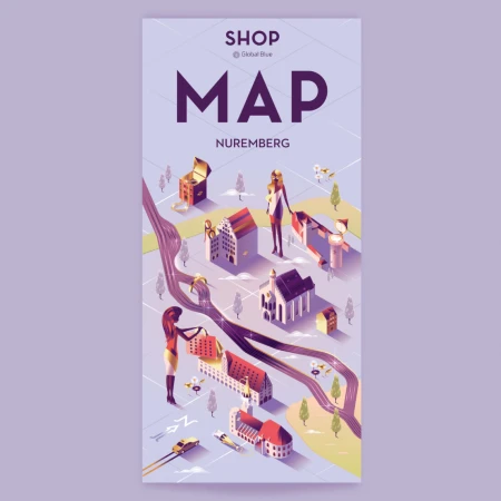
Isometric illustrated map of Nuremberg featuring stylized buildings, figures, and roads in a purple and cream color palette.
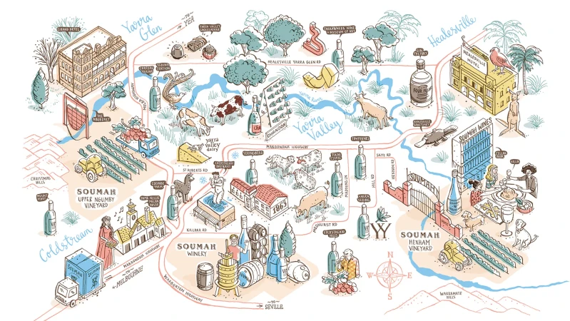
Illustrated hand-drawn map of the Yarra Valley featuring wineries, vineyards, and local landmarks by Kat Chadwick
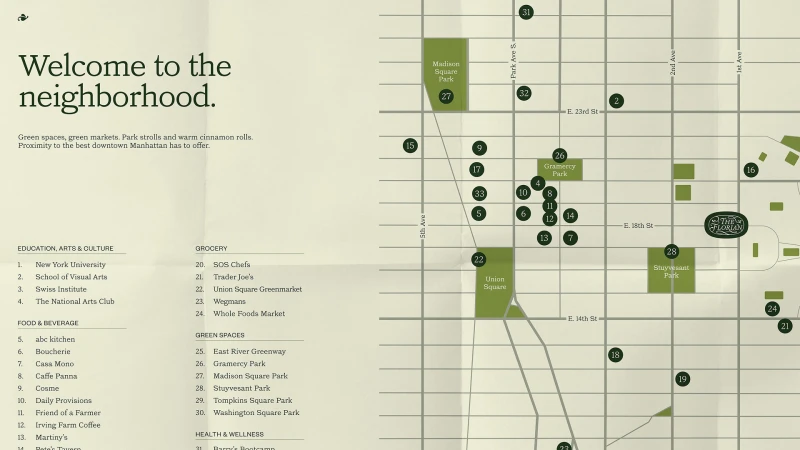
Illustrated neighborhood map graphic for The Florian featuring street grid, green park plots, numbered location markers, and directory text.
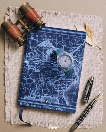
Flat lay of a blue map notebook, luxury wristwatch, vintage leather binoculars, and fountain pen on textured linen fabric.
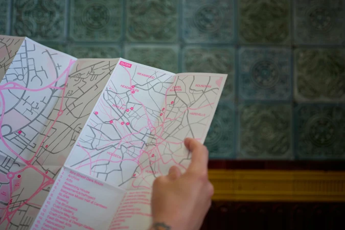
Close-up of hands holding a folded paper city map with pink and grey lines against a decorative tiled wall.
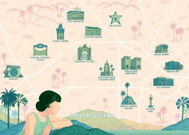
Illustrated vintage map of Hollywoodland featuring prominent landmarks and a woman looking out over hills.
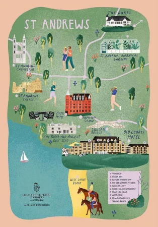
Illustrated tourist map of St Andrews featuring landmarks, buildings, and figures by Stephanie Ginger
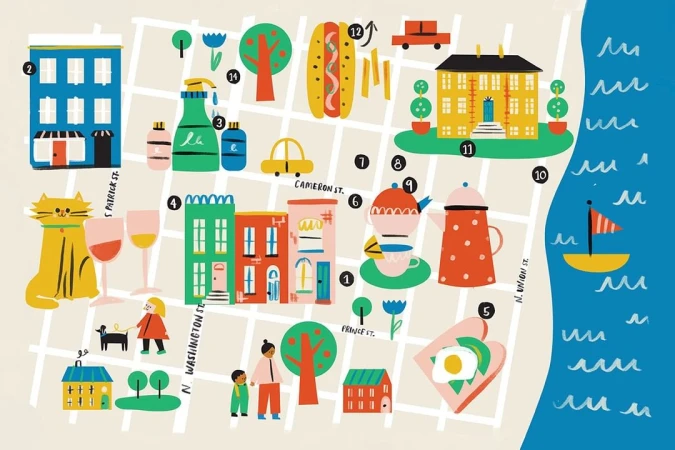
Illustrated city map by Libby Burns showing colorful buildings, street grids, whimsical icons, and a blue coastline with a sailboat.
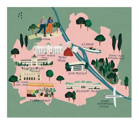
Illustrated map of Vienna by Stephanie Ginger showing landmarks, parks, and the Danube river in a textured pink and green palette.
Park Lane brand identity typography set over a vintage map background design by Mother Design
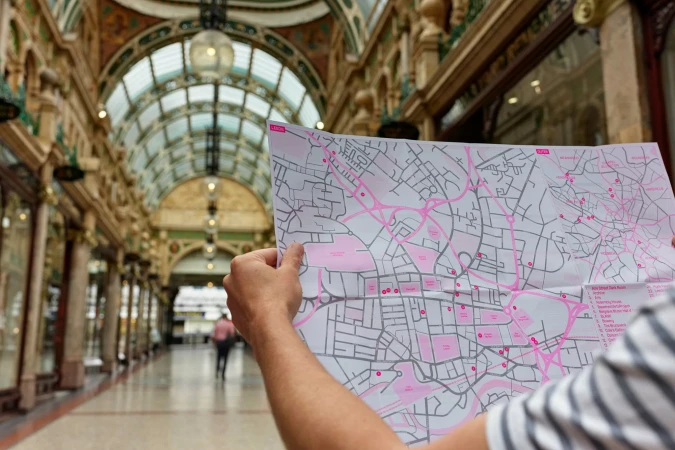
Person holding a pink and white city map inside an ornate historic arcade with a vaulted glass roof
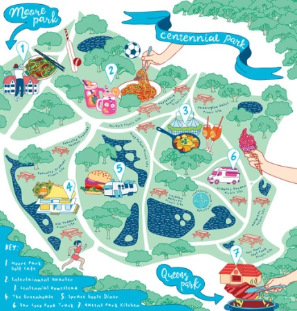
Illustrated colorful map of Centennial Park featuring numbered icons, food items, trees, and paths by Sasha Heath.
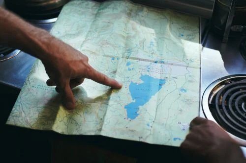
Close-up of a person pointing a finger at a detailed topographic map spread out on a flat kitchen surface.
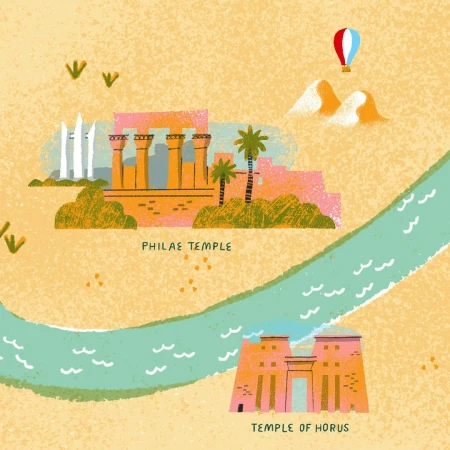
Digital illustration by Tom Froese featuring Philae Temple and Temple of Horus along a winding turquoise river with a hot air balloon.
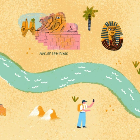
Digital illustration by Tom Froese showing an Egyptian landscape with a winding river, sphinxes, a palm tree, and a tourist taking a photo
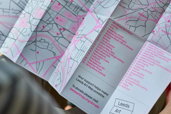
Close-up of a folded paper city map with pink accent lines and a numbered index list held in hands
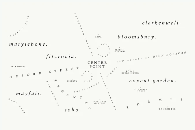
Typography map design featuring London neighbourhood names and landmarks arranged graphically on an off white background
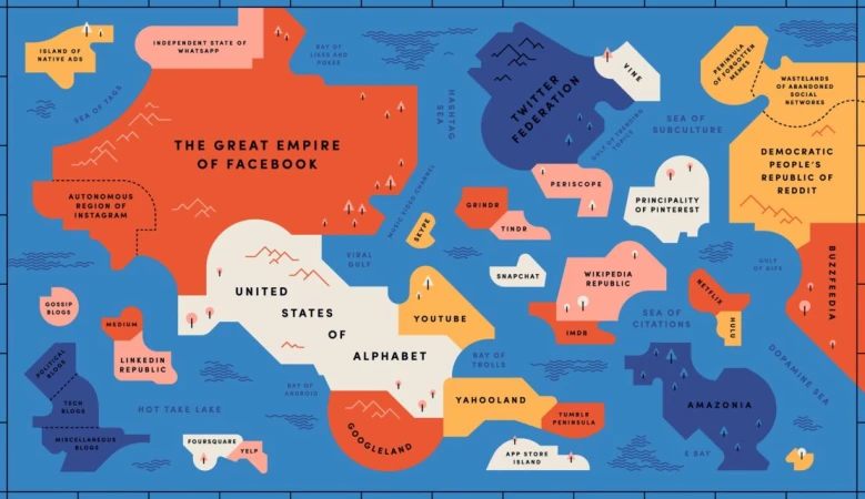
An illustrated fantasy map depicting social media platforms and tech companies as countries and continents.
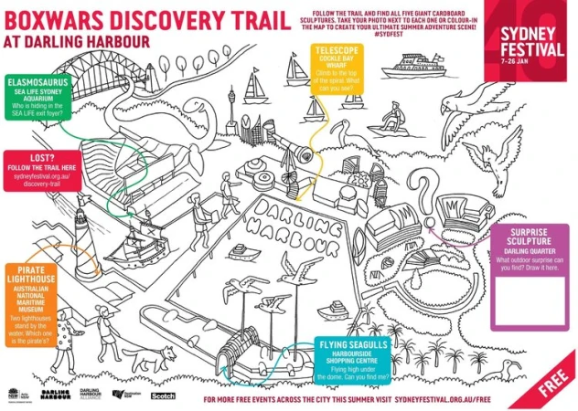
Illustrated trail map of Darling Harbour featuring hand-drawn landmarks, cardboard sculptures, and activity boxes by Sasha Heath.
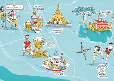
Illustrated city map of Yangon by Kat Chadwick featuring landmarks, local food, and cultural scenes on a blue background
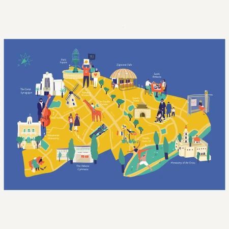
Illustrated city map by Maya Ish-shalom featuring landmarks, streets, and figures in a flat graphic style against a blue background.
A metallic smartphone floating at an angle displaying bold black festival typography on a white screen over a blurred graphic backdrop.
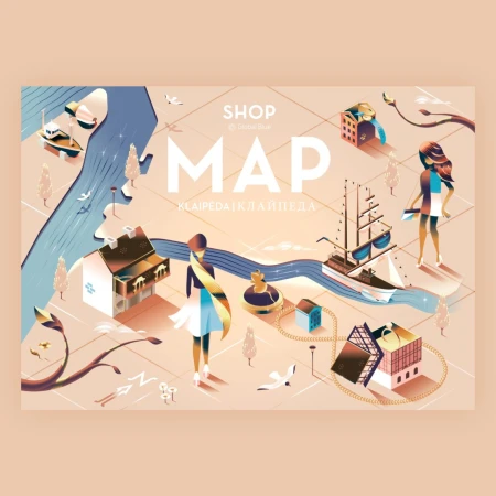
Isometric illustrated map of Klaipeda featuring buildings, ships, water, and figures by designer Andrew Nye
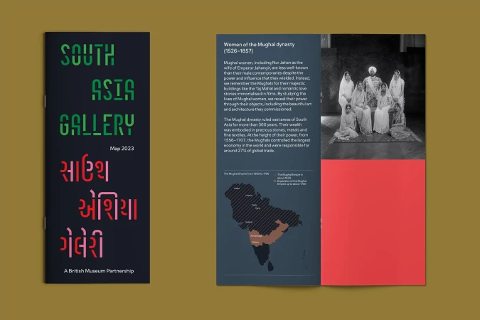
Printed brochure pages for South Asia Gallery featuring bold green and pink typography against a dark ground and historical imagery.
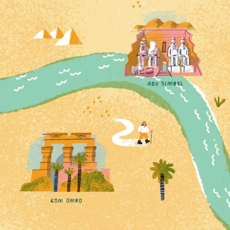
Illustrated map showing the Nile River winding past Egyptian landmarks like Abu Simbel and Kom Ombo, with textured sandy dunes.
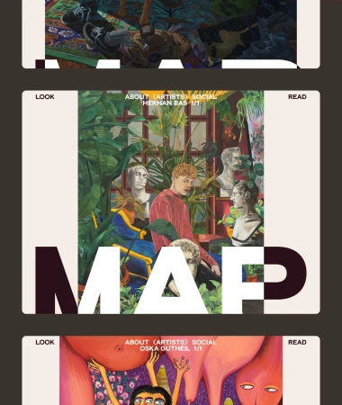
Graphic layout for MAP brand identity featuring an illustrated painting with people, plants, and classical busts.
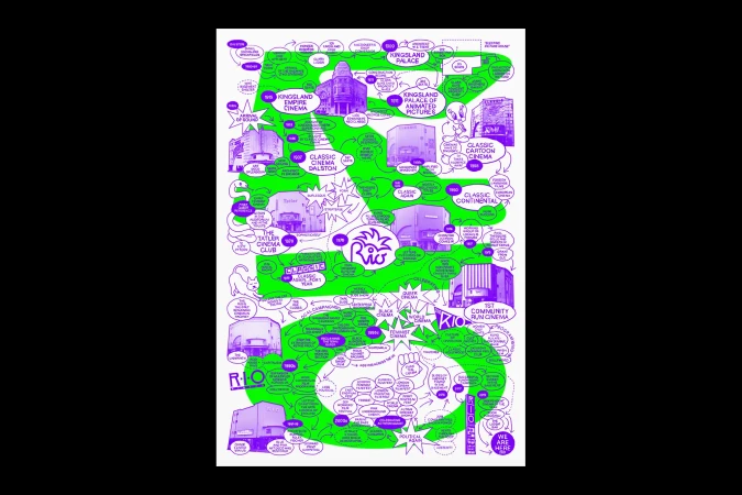
Detailed white poster featuring purple and green illustrative timeline mapping Rio Cinema history with buildings and text.
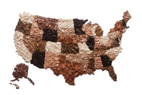
United States map shaped from crushed makeup powders in diverse skin tones on a white background
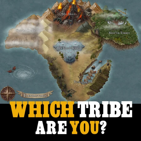
Fictional island map with labeled locations including a volcano and temple, overlaid with text asking which tribe you are.
Isometric vector illustration of a detailed town map by Abiyasa Adiguna featuring buildings, roads, vehicles, and tiny figures.
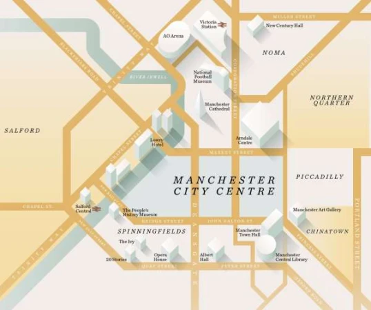
An isometric illustrated city map of Manchester featuring labelled streets and landmark buildings in beige and white.
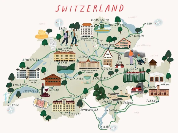
Illustrated tourist map of Switzerland featuring landmarks, towns, green paths, and miniature drawings by Stephanie Ginger
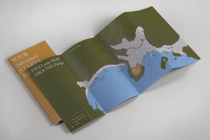
An unfolded printed tourist map showing a coastline with green land and blue water alongside a folded orange guidebook on a white table.
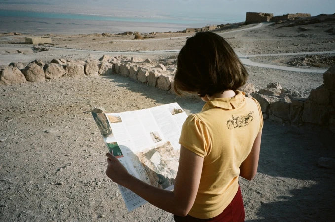
A woman holding a folded map outdoors in a rocky landscape overlooking a body of water, photographed by Yaniv Edry.
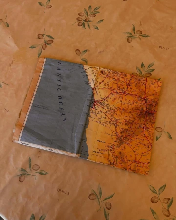
An unfolded topographic map resting diagonally on an olive-patterned tablecloth.
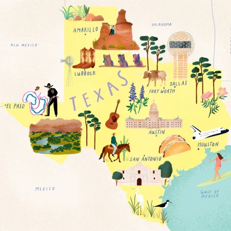
Illustrated yellow map of Texas by Stephanie Ginger featuring regional landmarks, cities, figures, and wildlife.
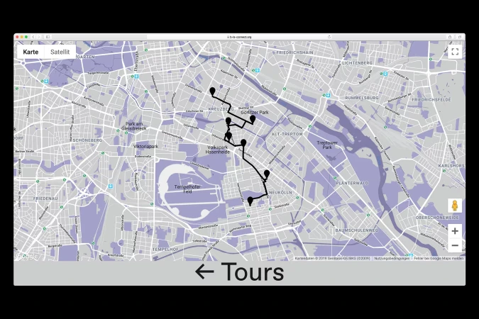
Digital city map interface with purple highlights, black route lines, pin markers, and a bottom banner reading Tours
Illustrated city map with a glowing blue heartbeat line traveling across streets toward a red heart location pin
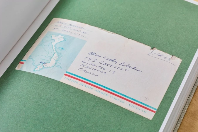
An envelope from United States Armed Forces Vietnam attached to a green paper page inside a bound book.
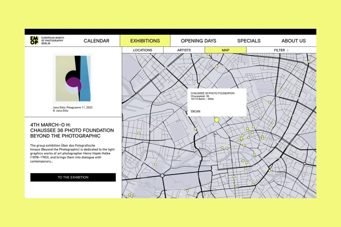
Website user interface showing a map interface with location markers and an exhibition preview for the European Month of Photography
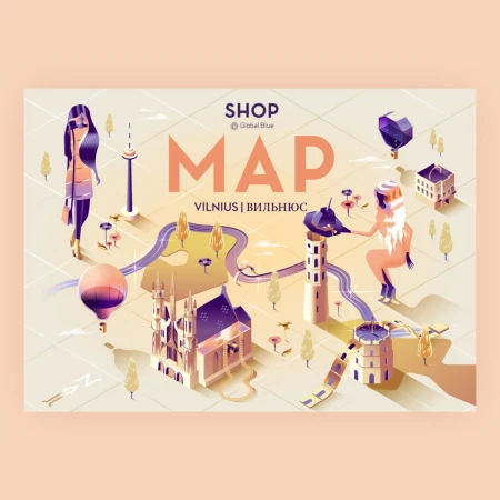
Isometric illustrated city map of Vilnius featuring stylized buildings, hot air balloons, and two female figures in a pastel palette
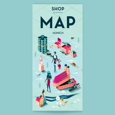
Illustrated isometric map of Munich featuring stylized buildings, tiny vehicles, and figures on a light green grid background.
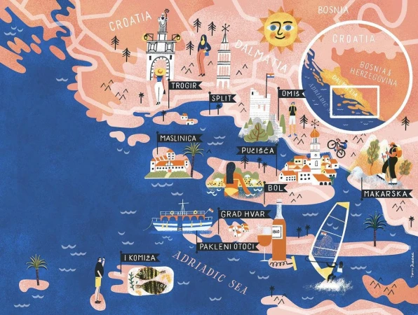
Illustrated travel map of Croatia and Dalmatia coastline featuring towns, landmarks, and figures by Tom Froese
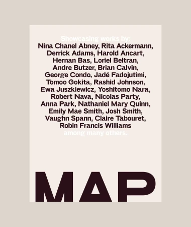
MAP brand identity graphic featuring a list of artists and bold lettering on neutral background
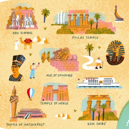
Illustrated travel map of Egypt featuring iconic landmarks like Abu Simbel, Philae Temple, and the Sphinx by Tom Froese.
5000+ creatives to discover

Sign up to gain access to the entire directory. It’s free.

Visie is a curated library of creative professionals.
Trusted by