Stephanie Ginger, Illustrator, London
Associated creatives

Tags
Description
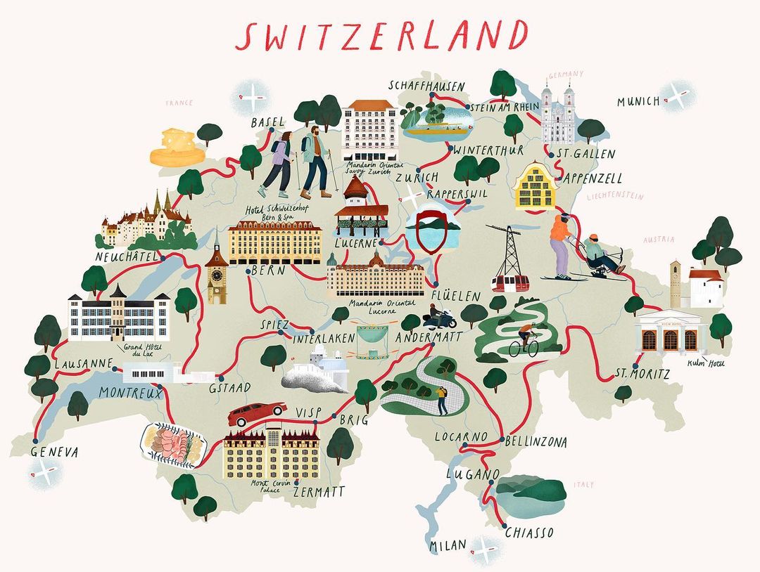
This illustration depicts a map of Switzerland, showcasing various cities and landmarks. Red route lines connect the different locations, suggesting travel routes. Small airplanes are placed at the end of the routes, indicating transportation. Buildings and trees add detail to the landscape, while figures of people are engaged in activities, such as hiking. Key locations include Basel, Zurich, Lucerne, Bern, Geneva, and Zermatt. The illustration includes images of buildings and landmarks in each city to highlight the tourist attractions. The color palette is soft and muted, giving the map a charming, hand-drawn feel. The overall composition is informative and visually appealing.