Stan Chow, Illustrator, New York
Associated creatives

Tags
Description
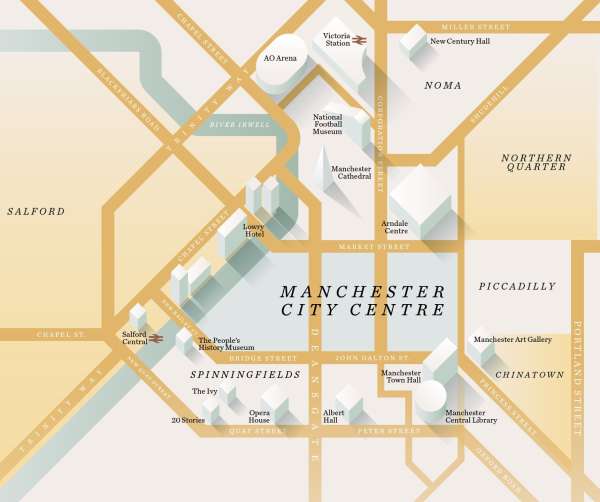
An illustrated map depicts Manchester City Centre, along with neighboring areas such as Salford, Spinningfields, Piccadilly, and the Northern Quarter. Key buildings are highlighted, including Victoria Station, AO Arena, Lowry Hotel, Manchester Cathedral, Arndale Centre, Manchester Town Hall, and Manchester Central Library. The map features street names and landmarks, providing a visual guide to the city's layout and notable destinations. The color palette consists of muted tones, creating a vintage or artistic feel. The image is designed to be informative and visually appealing, providing a sense of the city's geography and points of interest.