
Stephanie Ginger, Illustrator, London
Associated creatives

Tags
Description
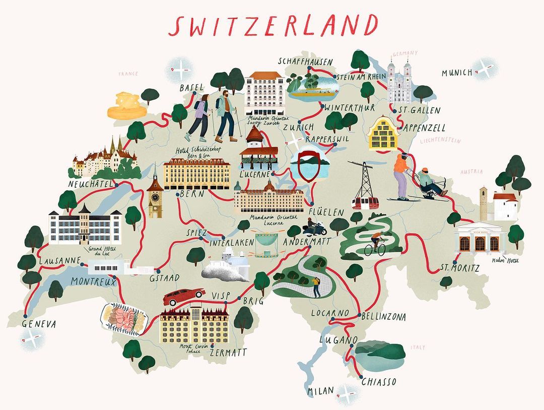
This illustrated map of Switzerland by illustrator Stephanie Ginger presents a whimsical and detailed visual guide to the country. The composition features a light cream background populated with charming hand-drawn illustrations of famous Swiss cities, landmarks, hotels, and natural features connected by winding red routes. Prominent elements include alpine landscapes, historic buildings, cable cars, and tiny figures engaged in outdoor activities like hiking and skiing. The color palette relies on earthy greens, muted blues, warm terracotta reds, and soft neutrals, creating a cohesive and inviting aesthetic. The piece combines cartography with playful pictorial storytelling, highlighted by clear hand-lettered location names across the map.
Style
Artistic, Square, playful, Minimalist
Techniques
Vector
Industries
Tourism Boards
Context
Website / Web