
Tom Froese, Illustrator, London
Associated creatives

Tags
Description
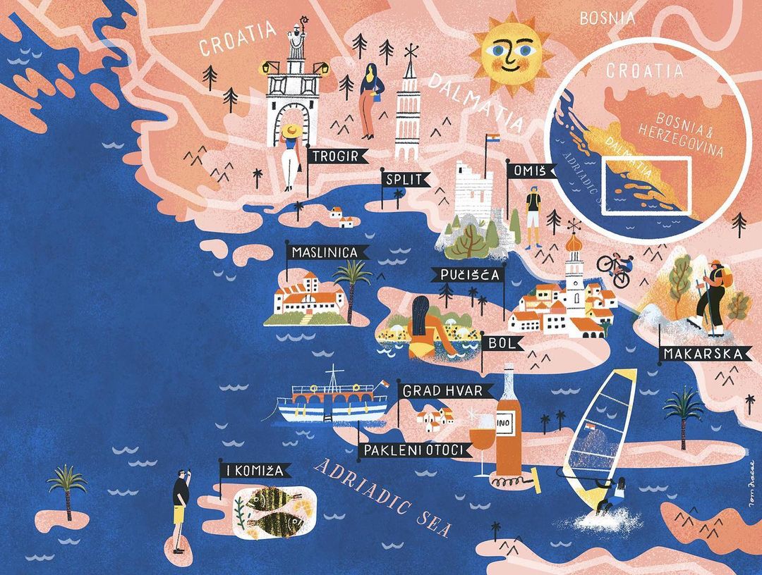
An illustrated map of the Croatian coast by illustrator Tom Froese details regions, towns, and landmarks across Dalmatia. The vertical composition is rendered in textured warm peach, pink, and deep blue hues, representing land and sea. Various vignettes depict regional scenes, including figures swimming, hiking, windsurfing, and exploring historical towns like Trogir, Split, and Hvar. A circular inset map in the upper right provides a broader geographical reference of the Adriatic region. The piece combines flat colour planes with subtle textured patterns and playful typographic labels.
Style
Artistic, Vertical, Organic, Retro
Color
Navy (40%)
Terracotta (40%)
Golden Yellow (20%)
Context
Fine Art / Personal Project